Natural Hazards Portal
The Natural Hazards Portal makes it easy to find information on natural hazard risks in your community.
You can:
- access local and national-level risk information from multiple government agencies, such as Council hazard maps.
- see settled EQCover and NHCover claims from 1997 onwards on residential properties throughout Aotearoa New Zealand.
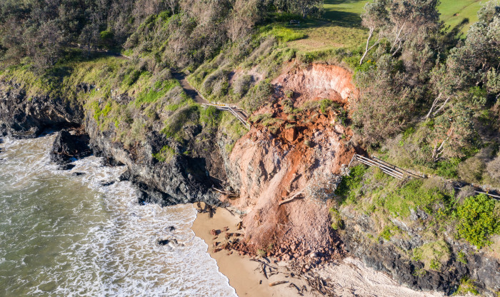
Landslips are one of the most common natural hazards to affect New Zealand homes and properties.
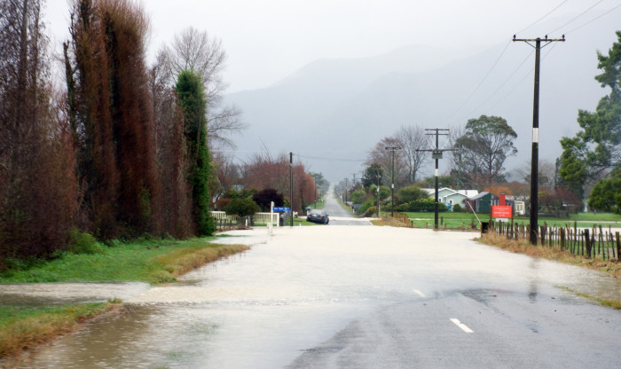
Homes in low-lying areas near waterways are generally more at risk of floods.
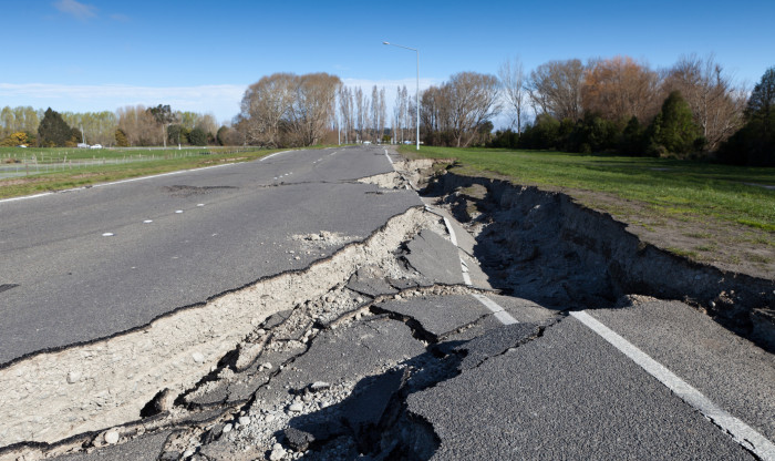
Earthquakes can happen almost anywhere in New Zealand, although some areas have a higher risk.
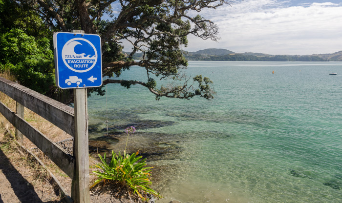
The likelihood of a severe tsunami affecting New Zealand is low, but even a small tsunami can affect properties in low-lying coastal areas.
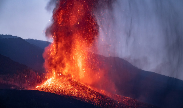
The North Island is an active volcanic region, and while eruptions (and the earthquakes that often come before them) are rare, we can’t predict them.
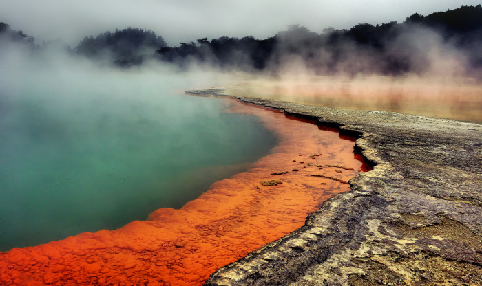
Most of New Zealand’s hydrothermal activity – hot water below the Earth’s crust – happens in the Taupo volcanic zone, from White Island to Mt Ruapehu.