Researcher profile: Sarah Codyre
Satellites monitor landslide risk
Researchers like Sarah Codyre are still learning important lessons from Cyclone Gabrielle two years on. The mega-storm caused hundreds of thousands of landslides across the North Island, destroying infrastructure and tragically killing five people.
“The goal is to prevent future disasters by figuring out how to better monitor landslide risk,” says Sarah.
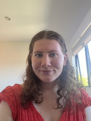
Sarah Codyre
Sarah recently completed an honours’ degree in geography at the University of Auckland under supervisor Dr Thomas Dowling, where she tested using data from satellites to study slope movements around Gisborne.
The tech, known as InSAR, sits hundreds of kilometres above the earth and tracks ground movements on a millimetre-scale.
Compared to traditional monitoring methods, Sarah found InSAR to be a convenient and cost-effective way to monitor landslide risk over a large area, without the need for on-site assessments.
Her research was funded through a Natural Hazards Commission Biennial grant, led by Professor Martin Brook and supported by Matt Cook.
Sarah has just taken up a graduate role with civil engineering consultancy, CIVIX, but she took some time to chat with us for our monthly Researcher Profile series.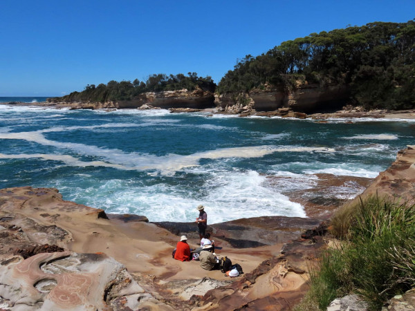
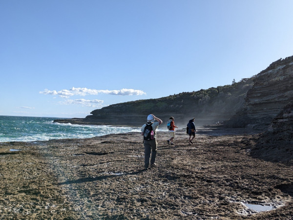
Researchers doing field work
Q and A
NHC: Tell us a little bit more about your project.
SC: Landslides are a significant geohazard in New Zealand, especially in areas like Tairāwhiti Gisborne, where steep terrain and extreme weather events, such as ex-Tropical Cyclone Gabrielle, pose major risks. My research used advanced remote sensing methods, including interferometric synthetic aperture radar (InSAR), to better understand slope deformations and improve landslide monitoring. I also employed logistic regression to identify key susceptibility factors, such as land use and geology, that influence slope instability. The analysis was complemented with manual mapping of landslide scars as validation data. As climate change intensifies extreme weather, studying landslides is crucial for protecting communities, infrastructure, and the environment.
NHC: What do you like most about your work?
 SC: What I enjoy most about this work is the ability to combine cutting-edge remote sensing technology with statistical analysis to better understand natural hazards. Using InSAR to detect surface deformation, then validating it with manual mapping and logistic regression, allows for a comprehensive, data-driven approach to landslide monitoring. I love remote sensing because it has so many natural and cultural applications. The ability to extract meaningful insights from satellite data and apply them to real-world challenges is exciting, and being part of this rapidly evolving field makes my work both innovative and impactful.
NHC: Why is it important to invest in natural hazards research like yours?
SC: Investing in natural hazards research is crucial for New Zealand, where earthquakes, floods, and storms frequently threaten communities. With climate change increasing the intensity of extreme weather events, proactive research improves risk assessment, disaster preparedness, and infrastructure resilience. In Gisborne, landslides triggered by Cyclone Gabrielle highlight the growing threat to lives and economies. Advanced techniques like InSAR enhance monitoring, while integrating Mātauranga Māori ensures culturally informed responses. As climate-driven hazards escalate, investing in research enables better planning, policy-making, and mitigation strategies, safeguarding New Zealand’s people, environment, and economy from the increasing risks of natural disasters.
NHC: What’s your personal experience with natural disasters, and how has it influenced your research?
SC: Growing up Lower Hutt, studying natural hazards was common in school. I developed a strong interest in earthquakes, landslides, and extreme weather events. New Zealand’s tectonic setting and frequent geohazards made it a natural area of curiosity for me. Experiencing earthquakes and events like the Auckland Anniversary floods reinforced my fascination with how these hazards shape the landscape and impact communities. My research allows me to bring together my interests in natural hazards and remote sensing, using advanced geospatial techniques to improve our understanding of these processes and their broader implications.